
Why Is My Hill Station Cooler? — Investigating the Factors That Shape Climate
Aim
To compare the temperatures of paired Indian cities and find which factor — latitude, altitude or nearness to the sea — best explains the difference in their climates.
Apparatus
- Science notebook and pencil
- Outline map of India
- Coloured pencils or sketch pens
- The city temperature data in the observation table
- Ruler
Procedure
- In pairs, study the three pairs of cities in the table: one for latitude, one for altitude, one for the sea.
- For each city, work out the temperature range, summer minus winter.
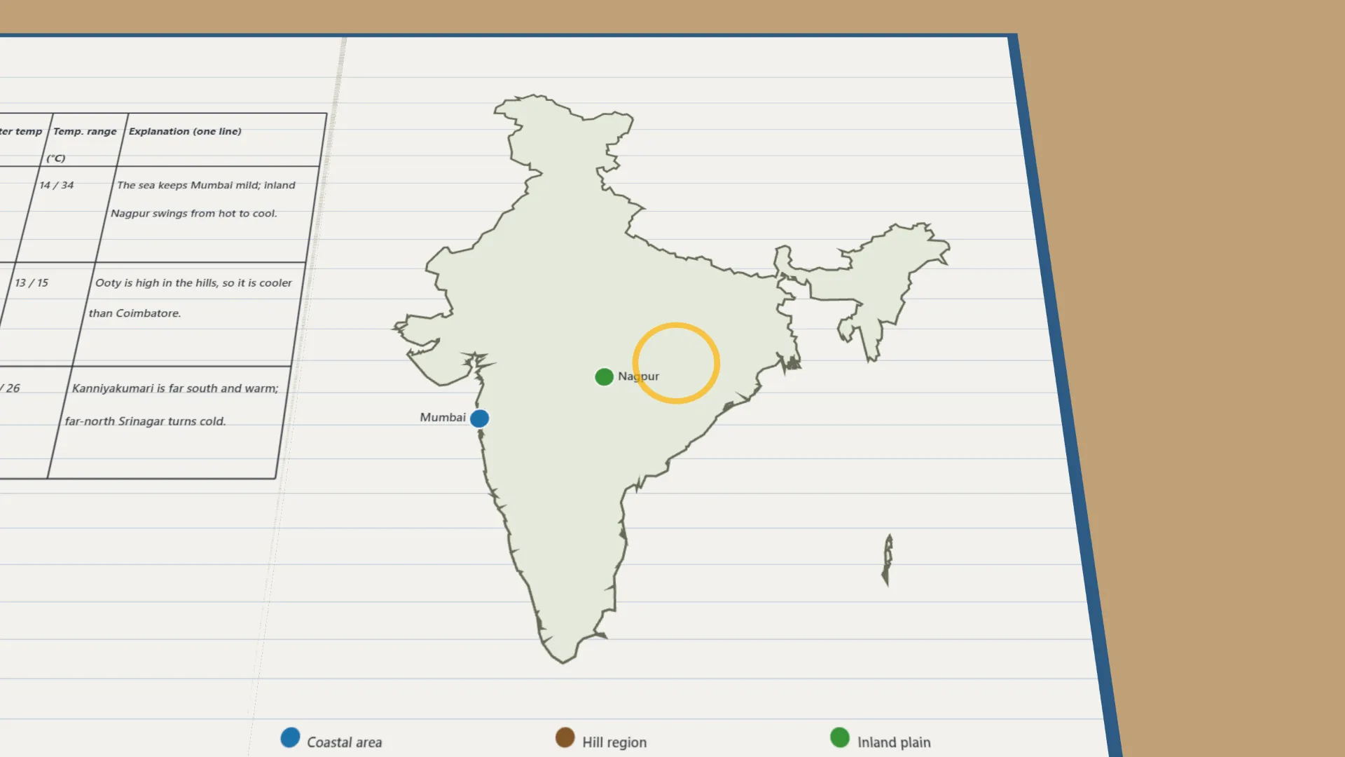
- Mark each city on the outline map. Show coasts, hills and inland plains in different colours.
- For each pair, decide which factor best explains the difference in climate.
- Write one sentence for each pair saying why their climates differ.
- Present your explanations to the class and compare them with another pair's.
Interactive 3D Experiment
Loading simulation…
What to observe
- Mumbai, by the sea, has a much smaller range than inland Nagpur.
- Ooty, high in the hills, is cooler than Coimbatore.
- Far-north Srinagar turns much colder in winter than Kanniyakumari at the southern tip.
Notes
- Social Science Spark: Kanniyakumari, at India's southern tip, and Srinagar, in the far north, sit at very different latitudes. That is a big part of why one stays warm almost all year while the other sees snow.