
Identifying and Labelling the Physical Divisions of India on an Outline Map
Aim
To identify the five major physical divisions of India and mark them correctly, with their key features, on an outline map.
Apparatus
- An outline (blank) physical map of India
- A school atlas
- Pencil
- Coloured pencils or crayons
- A ruler
- Tracing paper (optional)
Procedure
- Using your atlas, trace the outline map of India onto your worksheet and mark its boundary clearly.
- Lightly pencil the boundaries of the five divisions, using the atlas to find each one.
- Shade each division neatly with a different coloured pencil.
- Label each division and mark at least two states that lie in it.
- Find one distinguishing feature of each division and write it in the observation table.
- Draw a legend in one corner of your map, then check your map against the atlas.
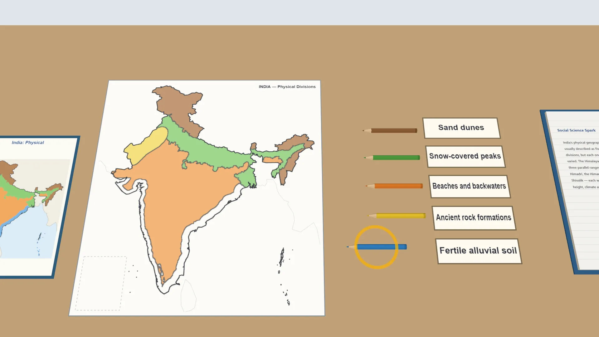
Interactive 3D Experiment
Loading simulation…
What to observe
- India has five major physical divisions - the Himalayas, the Northern Plains, the Peninsular Plateau, the Thar Desert, and the Coastal Plains and Islands.
- Each division has its own states and its own feature, from snow-covered peaks to sand dunes and beaches.
Notes
- India's five physical divisions are each richly varied. The Himalayas alone are made up of three parallel ranges - the Himadri, the Himachal and the Shivalik - each with a different height, climate and way of life.
- Use pencil before applying colour, refer to the atlas carefully so that boundaries are drawn accurately, and keep colouring neatly within the outlines.