
Locating Points Using Latitude and Longitude on a Globe
Aim
Identify and mark given points on a globe using their latitude and longitude, and say which hemisphere each point lies in.
Apparatus
- A table-top globe
- A strip of paper or thread
- A wax crayon or washable marker
- An atlas for reference
Procedure
- Find the Equator (0° latitude) and the Prime Meridian (0° longitude) on the globe and trace them with your finger.
- Count north or south from the Equator, along the printed lines, to the given latitude, e.g. 20°N.
- Count east or west from the Prime Meridian, along the printed lines, to the given longitude, e.g. 80°E.
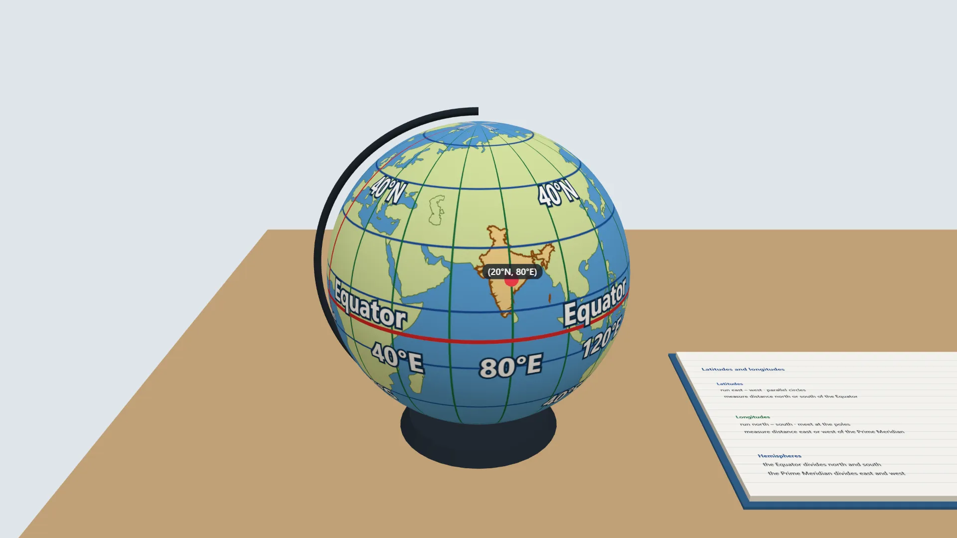
- Mark with a small dot the point where the two lines cross. This is the pair (20°N, 80°E).
- Repeat for at least four different pairs from your teacher. Record each in the observation table.
- For each point, say if it is in the Northern or Southern Hemisphere, and the Eastern or Western Hemisphere.
Interactive 3D Experiment
Loading simulation…
What to observe
- Latitudes run east–west and measure the distance north or south of the Equator.
- Longitudes run north–south, meet at the poles, and measure the distance east or west of the Prime Meridian.
- Every place is found where one latitude line and one longitude line cross, so two numbers fix a point.
- The Equator divides the Earth into the Northern and Southern Hemispheres. The Prime Meridian divides it into the Eastern and Western Hemispheres.
- Every point lies in one hemisphere of each pair, for example 20°N, 80°E is in the Northern and Eastern Hemispheres.
Notes
- Social Science Spark: The Equator (0° latitude) is the longest imaginary line on the Earth. It divides the Earth into the Northern Hemisphere and the Southern Hemisphere. Although it is imaginary, it is one of the most important reference lines geographers use to locate places accurately.
- Handle the globe gently.
- Use only washable markers on the surface, and wipe them off after the activity.