
Constructing and Using a Grid-Reference Map
Aim
To construct a simple grid map using rows and columns, and to locate given places using grid references.
Apparatus
- Graph paper
- Ruler
- Pencil
- Coloured pencils
Procedure
- Draw a grid of 8 columns and 8 rows on graph paper. Each square is 2 cm × 2 cm.
- Label the columns A to H from left to right, and the rows 1 to 8 from bottom to top.
- Mark three imaginary places on the grid (a village, a hill and a river bend), using symbols and a key.
- Write the grid reference of each place: the column letter, then the row number, for example C6.
- Swap maps with a partner. Find their three places using only the grid references they give you.
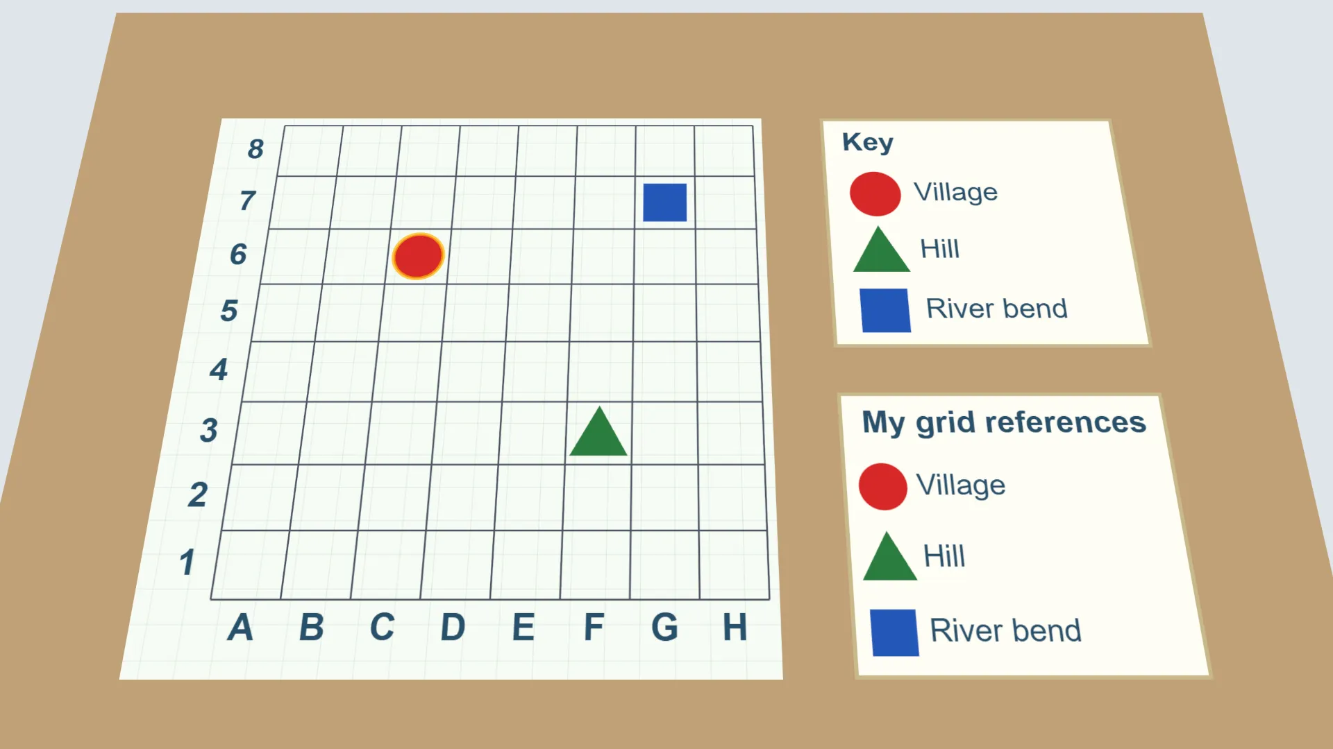
Interactive 3D Experiment
Loading simulation…
What to observe
- A grid reference names the column letter first, then the row number.
- Each grid reference points to exactly one square, so two people can find the same place.
- A grid works like latitude and longitude: two readings give one position.
Notes
- Grid references help us find places quickly and accurately. They are used in city maps, treasure maps, hiking trails, and by rescue teams and the armed forces.
- Use a sharp pencil for accurate grid lines, and keep the row and column labels easy to read.